Geolocate

Thangadh topographic map

Click on the map to display elevation.

About this map

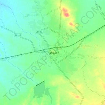
Name: Thangadh topographic map, elevation, terrain.

Location: Thangadh, Thangadh Taluka, Surendranagar, Gujarat, India (22.53434 71.16002 22.61434 71.24002)

Average elevation: 139 m

Minimum elevation: 118 m

Maximum elevation: 183 m

Gear up for your next adventure:

🍽️Titanium Camping Spork - Ultralight and indestructible eating utensil
🪑Insulated Seat Pad - Protect your seat from cold rocks and wet logs
🔨Vehicle Emergency Tool - Safety tool for remote road trips to trailheads
🎒Hiking Backpack - Lightweight and ergonomic backpacks for day hikes or multi-day treks
🔦LED Flashlight - Powerful and long-lasting flashlight for camping and emergencies

As an Amazon Associate, this site earns from qualifying purchases at no extra cost to you.