Geolocate

Ukhra topographic map

Click on the map to display elevation.

About this map

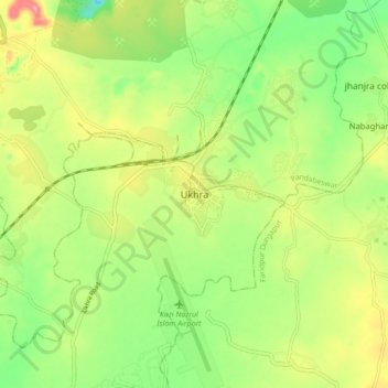
Name: Ukhra topographic map, elevation, terrain.

Location: Ukhra, Ondal, Paschim Bardhaman, West Bengal, 713363, India (23.60741 87.20466 23.68741 87.28466)

Average elevation: 95 m

Minimum elevation: 40 m

Maximum elevation: 169 m

Gear up for your next adventure:

🥽Outdoor Goggles - Protective eyewear for outdoor activities
🦯Trekking Poles - Reduced impact on joints for steep topographic climbs
🧦Thermal Socks - Warm socks for winter hiking or camping
💡LED Camping Lantern - Illuminate your campsite with long-lasting lanterns
🏃Hydration Running Vest - Carry water and maps close to your body for speed

As an Amazon Associate, this site earns from qualifying purchases at no extra cost to you.