Geolocate

Nandigama topographic map

Click on the map to display elevation.

About this map

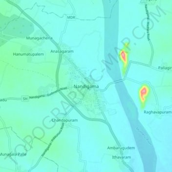
Name: Nandigama topographic map, elevation, terrain.

Location: Nandigama, NTR, Andhra Pradesh, 521185, India (16.73347 80.24553 16.81347 80.32553)

Average elevation: 48 m

Minimum elevation: 32 m

Maximum elevation: 176 m

Gear up for your next adventure:

🪑Ultralight Camping Stool - Compact seating for rest stops during long hikes
🎒Hiking Backpack - Lightweight and ergonomic backpacks for day hikes or multi-day treks
🥾Durable Hiking Shoes - Long-lasting shoes for frequent hiking
Camping Coffee Maker - Brew fresh coffee anywhere on the topographic map
🔭Outdoor Binoculars - Lightweight binoculars for birdwatching and hiking

As an Amazon Associate, this site earns from qualifying purchases at no extra cost to you.