
Carson topographic map
Interactive map
Click on the map to display elevation.
About this map
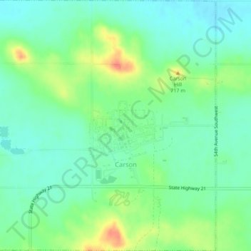
Name: Carson topographic map, elevation, terrain.
Location: Carson, Grant County, North Dakota, United States (46.40771 -101.59161 46.43690 -101.54966)
Average elevation: 706 m
Minimum elevation: 687 m
Maximum elevation: 743 m