
Хасынский городской округ topographic map
Interactive map
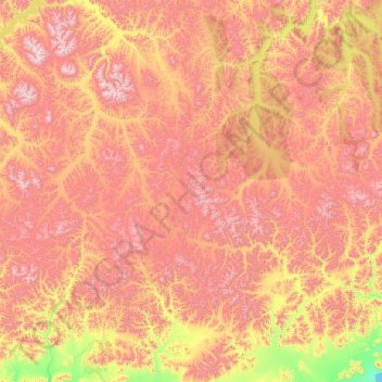
Click on the map to display elevation.
About this map
Name: Хасынский городской округ topographic map, elevation, terrain.
Average elevation: 786 m
Minimum elevation: 0 m
Maximum elevation: 2,114 m
Other topographic maps
Click on a map to view its topography, its elevation and its terrain.
Magadan
Russland > Oblast Magadan > Magadan
Magadan, городской округ Магадан, Oblast Magadan, Föderationskreis Ferner Osten, Russland
Average elevation: 222 m