
La Sarte topographic map
Interactive map
Click on the map to display elevation.
About this map
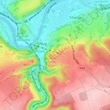
Name: La Sarte topographic map, elevation, terrain.
Location: La Sarte, Hoei, Luik, Wallonië, 4500, België (50.49390 5.22772 50.53390 5.26772)
Average elevation: 156 m
Minimum elevation: 64 m
Maximum elevation: 261 m