Geolocate

Taglio di Po topographic map

Click on the map to display elevation.

About this map
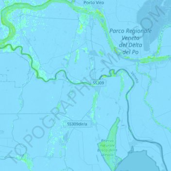
Name: Taglio di Po topographic map, elevation, terrain.

Location: Taglio di Po, Rovigo, Veneto, Italia (44.81801 12.09379 45.02791 12.39060)

Average elevation: -2 m

Minimum elevation: -8 m

Maximum elevation: 13 m

Other topographic maps

Click on a map to view its topography, its elevation and its terrain.

Rosolina Mare

Italia > Veneto > Rovigo

Average elevation: 0 m

Bornio

Italia > Veneto > Rovigo > Villanova del Ghebbo

Average elevation: 5 m

Polesinello

Italia > Veneto > Rovigo > Taglio di Po

Average elevation: -3 m

Gear up for your next adventure:

🗺️Topographic Maps - Detailed maps to explore trails, mountains, and wilderness areas
🥾Mountaineering Boots - Supportive boots for climbing and high-altitude hiking
🪑Insulated Seat Pad - Protect your seat from cold rocks and wet logs
🛌Insulated Sleeping Pad - Critical thermal barrier between you and the cold ground
🔨Vehicle Emergency Tool - Safety tool for remote road trips to trailheads

As an Amazon Associate, this site earns from qualifying purchases at no extra cost to you.