
Großdehsa topographic map
Click on the map to display elevation.
About this map
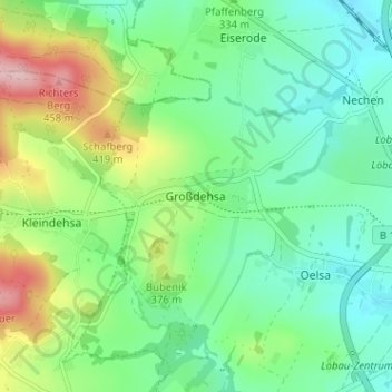
Name: Großdehsa topographic map, elevation, terrain.
Location: Großdehsa, Löbau, Görlitz, Sachsen, 02708, Deutschland (51.08760 14.59587 51.12760 14.63587)
Average elevation: 330 m
Minimum elevation: 268 m
Maximum elevation: 471 m
Other topographic maps
Click on a map to view its topography, its elevation and its terrain.