
Thank you for supporting this site ❤️
Make a donation
Make a donation
Gear up for your next adventure:
As an Amazon Associate, this site earns from qualifying purchases at no extra cost to you.
Chouf topographic map
Click on the map to display elevation.
Thank you for supporting this site ❤️
Make a donation
Make a donation
Gear up for your next adventure:
As an Amazon Associate, this site earns from qualifying purchases at no extra cost to you.
About this map
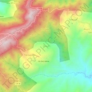
Name: Chouf topographic map, elevation, terrain.
Location: Chouf, Tafreg, Djaâfra District, Bordj Bou Arreridj, Algeria (36.27500 4.67608 36.31500 4.71608)
Average elevation: 980 m
Minimum elevation: 683 m
Maximum elevation: 1,317 m
Thank you for supporting this site ❤️
Make a donation
Make a donation
Gear up for your next adventure:
As an Amazon Associate, this site earns from qualifying purchases at no extra cost to you.