
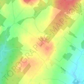
Saint-Claude-Nord topographic map
Interactive map
Click on the map to display elevation.
About this map
Name: Saint-Claude-Nord topographic map, elevation, terrain.
Average elevation: 243 m
Minimum elevation: 209 m
Maximum elevation: 274 m
Other topographic maps
Click on a map to view its topography, its elevation and its terrain.
Ruisseau Windsor
Canada > Québec > Saint-Claude
Ruisseau Windsor, Saint-Claude, Le Val-Saint-François, Estrie, Québec, Canada
Average elevation: 239 m