
Hortobágy topographic map
Interactive map
Click on the map to display elevation.
About this map
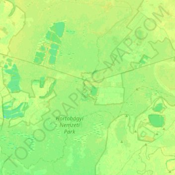
Name: Hortobágy topographic map, elevation, terrain.
Average elevation: 89 m
Minimum elevation: 81 m
Maximum elevation: 94 m
Other topographic maps
Click on a map to view its topography, its elevation and its terrain.
Balmazújvárosi járás
Hongrie > Hajdú-Bihar vármegye
Balmazújvárosi járás, Hajdú-Bihar vármegye, Grande Plaine septentrionale, Grande plaine et nord, Hongrie
Average elevation: 92 m