
Koula topographic map
Interactive map
Click on the map to display elevation.
About this map
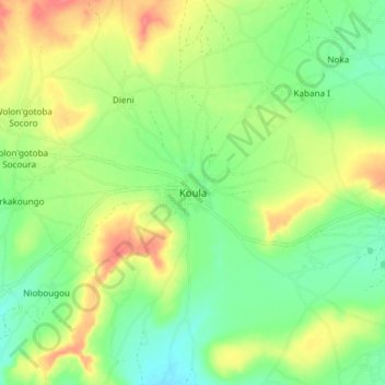
Name: Koula topographic map, elevation, terrain.
Location: Koula, Cercle de Koulikoro, Koulikoro, Mali (13.07342 -7.69402 13.15342 -7.61402)
Average elevation: 349 m
Minimum elevation: 323 m
Maximum elevation: 383 m