
Thank you for supporting this site ❤️
Make a donation
Make a donation
Gear up for your next adventure:
As an Amazon Associate, this site earns from qualifying purchases at no extra cost to you.
Perais topographic map
Click on the map to display elevation.
Thank you for supporting this site ❤️
Make a donation
Make a donation
Gear up for your next adventure:
As an Amazon Associate, this site earns from qualifying purchases at no extra cost to you.
About this map
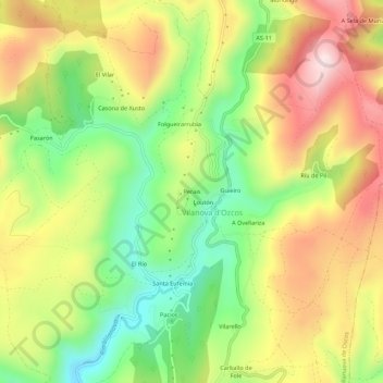
Name: Perais topographic map, elevation, terrain.
Location: Perais, Villanueva de Oscos, Astúrias, 33777, Espanha (43.29353 -7.00919 43.33353 -6.96919)
Average elevation: 780 m
Minimum elevation: 569 m
Maximum elevation: 1,012 m
Thank you for supporting this site ❤️
Make a donation
Make a donation
Gear up for your next adventure:
As an Amazon Associate, this site earns from qualifying purchases at no extra cost to you.