
Thank you for supporting this site ❤️
Make a donation
Make a donation
Gear up for your next adventure:
As an Amazon Associate, this site earns from qualifying purchases at no extra cost to you.
Lurin topographic map
Click on the map to display elevation.
Thank you for supporting this site ❤️
Make a donation
Make a donation
Gear up for your next adventure:
As an Amazon Associate, this site earns from qualifying purchases at no extra cost to you.
About this map
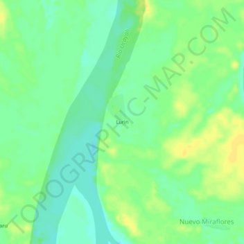
Name: Lurin topographic map, elevation, terrain.
Location: Lurin, Emilio San Martín, Requena, Loreto, Perú (-5.78590 -74.35041 -5.74590 -74.31041)
Average elevation: 107 m
Minimum elevation: 97 m
Maximum elevation: 118 m
Thank you for supporting this site ❤️
Make a donation
Make a donation
Gear up for your next adventure:
As an Amazon Associate, this site earns from qualifying purchases at no extra cost to you.