
Alpe Chanté topographic map
Interactive map
Click on the map to display elevation.
About this map
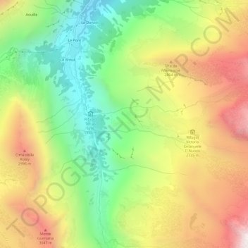
Name: Alpe Chanté topographic map, elevation, terrain.
Location: Alpe Chanté, Valsavarenche, Vallée d'Aoste, Italie (45.49392 7.19384 45.53392 7.23384)
Average elevation: 2,554 m
Minimum elevation: 1,881 m
Maximum elevation: 3,354 m