
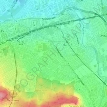
Weiher Lindenfeld topographic map
Interactive map
Click on the map to display elevation.
About this map
Name: Weiher Lindenfeld topographic map, elevation, terrain.
Location: Weiher Lindenfeld, Suhr, Bezirk Aarau, Aargau, 5034, Switzerland (47.38670 8.06438 47.38706 8.06490)
Average elevation: 396 m
Minimum elevation: 358 m
Maximum elevation: 473 m