
Soper topographic map
Click on the map to display elevation.
About this map
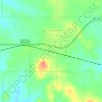
Name: Soper topographic map, elevation, terrain.
Location: Soper, Choctaw County, Oklahoma, 74759, United States (34.02594 -95.69977 34.03696 -95.69165)
Average elevation: 160 m
Minimum elevation: 143 m
Maximum elevation: 186 m