
ST topographic map
Interactive map
Click on the map to display elevation.
About this map
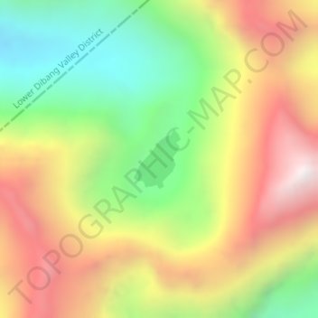
Name: ST topographic map, elevation, terrain.
Location: ST, Tezu HQ, Lohit District, Arunachal Pradesh, Inde (28.41900 96.37410 28.42405 96.37864)
Average elevation: 4,015 m
Minimum elevation: 3,393 m
Maximum elevation: 4,695 m