
Mahébourg topographic map
Interactive map
Click on the map to display elevation.
About this map
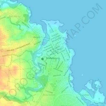
Name: Mahébourg topographic map, elevation, terrain.
Location: Mahébourg, Grand Port, 50810, Maurice (-20.41837 57.69124 -20.40128 57.71236)
Average elevation: 11 m
Minimum elevation: 0 m
Maximum elevation: 39 m
Other topographic maps
Click on a map to view its topography, its elevation and its terrain.