
Cañon del Infiernillo topographic map
Interactive map
Click on the map to display elevation.
About this map
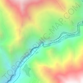
Name: Cañon del Infiernillo topographic map, elevation, terrain.
Average elevation: 3,733 m
Minimum elevation: 3,177 m
Maximum elevation: 4,390 m