Geolocate

Braidwood topographic map

Click on the map to display elevation.

About this map

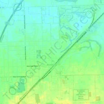
Name: Braidwood topographic map, elevation, terrain.

Location: Braidwood, Will County, Illinois, 60408, United States (41.24865 -88.24653 41.29182 -88.18942)

Average elevation: 175 m

Minimum elevation: 165 m

Maximum elevation: 187 m

Other topographic maps

Click on a map to view its topography, its elevation and its terrain.

Drummond

United States > Illinois > Will County

Average elevation: 167 m

Puddle Pond

United States > Illinois > Will County > Plainfield

Average elevation: 187 m

Arbury Hills

United States > Illinois > Will County

Average elevation: 216 m

Gear up for your next adventure:

🥤Collapsible Travel Cup - Saves space and weight in your mess kit
🪑Ultralight Camping Stool - Compact seating for rest stops during long hikes
🧢Outdoor Visor - Breathable visor for sunny hikes
🥾Hiking Boots - Sturdy boots providing ankle support and traction on rugged trails
💡LED Camping Lantern - Illuminate your campsite with long-lasting lanterns

As an Amazon Associate, this site earns from qualifying purchases at no extra cost to you.