
Thank you for supporting this site ❤️
Make a donation
Make a donation
Gear up for your next adventure:
As an Amazon Associate, this site earns from qualifying purchases at no extra cost to you.
Ra'og topographic map
Click on the map to display elevation.
Thank you for supporting this site ❤️
Make a donation
Make a donation
Gear up for your next adventure:
As an Amazon Associate, this site earns from qualifying purchases at no extra cost to you.
About this map
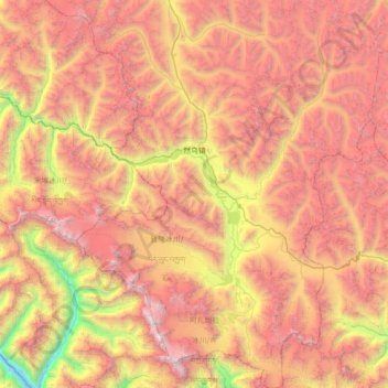
Name: Ra'og topographic map, elevation, terrain.
Location: Ra'og, Baxoi County, Chamdo City, Tibet, China (29.12510 96.54162 29.74083 97.09238)
Average elevation: 4,849 m
Minimum elevation: 2,641 m
Maximum elevation: 6,798 m
Thank you for supporting this site ❤️
Make a donation
Make a donation
Gear up for your next adventure:
As an Amazon Associate, this site earns from qualifying purchases at no extra cost to you.