Geolocate

Seagoville topographic map

Click on the map to display elevation.

About this map

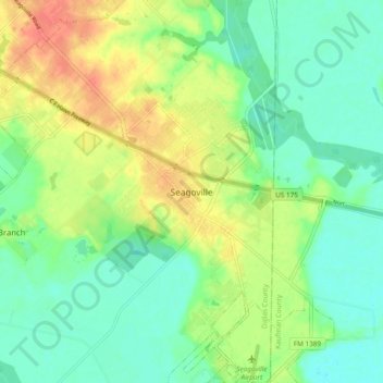
Name: Seagoville topographic map, elevation, terrain.

Location: Seagoville, Dallas County, Texas, 75159, United States (32.60479 -96.58186 32.68479 -96.50186)

Average elevation: 122 m

Minimum elevation: 103 m

Maximum elevation: 152 m

Gear up for your next adventure:

Lightweight Camping Tent - Portable shelter optimized for Canadian backcountry camping
Camping Essentials - All-in-one gear for a comfortable camping trip
🔦LED Flashlight - Powerful and long-lasting flashlight for camping and emergencies
🪑Insulated Seat Pad - Protect your seat from cold rocks and wet logs
🧤Rechargeable Heated Gloves - Extreme warmth for Canadian winter expeditions

As an Amazon Associate, this site earns from qualifying purchases at no extra cost to you.