
Make a donation
Gear up for your next adventure:
As an Amazon Associate, this site earns from qualifying purchases at no extra cost to you.
Kramelheide topographic map
Click on the map to display elevation.
Make a donation
Gear up for your next adventure:
As an Amazon Associate, this site earns from qualifying purchases at no extra cost to you.
About this map
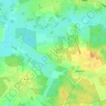
Name: Kramelheide topographic map, elevation, terrain.
Average elevation: 13 m
Minimum elevation: 0 m
Maximum elevation: 35 m
Make a donation
Gear up for your next adventure:
As an Amazon Associate, this site earns from qualifying purchases at no extra cost to you.
Other topographic maps
Click on a map to view its topography, its elevation and its terrain.
Lunestedt
Deutschland > Niedersachsen > Landkreis Cuxhaven > Beverstedt
2014/15 wurde in Lunestedt (z. T. in Heerstedt und Stinstedt) der Windpark Lunestedt/Heerstedt gebaut: 14 Windkraftanlagen, mit einer Höhe von 150 m, einer Leistung von 38,5 MW. Die Stromproduktion von 85.000.000 kWh/Jahr reicht, um 24.000 Haushalte mit Strom zu versorgen. Investiert wurden 67.000.000 Euro. 5…
Average elevation: 5 m
Make a donation
Gear up for your next adventure:
As an Amazon Associate, this site earns from qualifying purchases at no extra cost to you.
Make a donation
Gear up for your next adventure:
As an Amazon Associate, this site earns from qualifying purchases at no extra cost to you.
Heerstedt
Deutschland > Niedersachsen > Landkreis Cuxhaven > Beverstedt > Heerstedt
Average elevation: 8 m