
Sentul topographic map
Interactive map
Click on the map to display elevation.
About this map
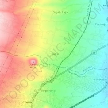
Name: Sentul topographic map, elevation, terrain.
Location: Sentul, Pasuruan, East Java, 65211, Indonesia (-7.83342 112.68549 -7.79342 112.72549)
Average elevation: 475 m
Minimum elevation: 356 m
Maximum elevation: 625 m