
Make a donation
Gear up for your next adventure:
As an Amazon Associate, this site earns from qualifying purchases at no extra cost to you.
Campill topographic map
Click on the map to display elevation.
Make a donation
Gear up for your next adventure:
As an Amazon Associate, this site earns from qualifying purchases at no extra cost to you.
Campill
Campill (selten auch Kampill, ladinisch Lungiarü, italienisch Longiarù) ist eine Fraktion der Gemeinde St. Martin in Thurn im Campilltal in Südtirol bzw. Ladinien auf 1400 m Höhe unterhalb des Peitlerkofels am Rand des Naturparks Puez-Geisler. Die Fraktion war ursprünglich eine selbstständige Gemeinde, die bis zum Ende des Ersten Weltkriegs zum Gerichtsbezirk Enneberg gehörte. 1928 wurde Campill der Gemeinde St. Martin in Thurn zugeschlagen. In Campill wird überwiegend Ladinisch gesprochen, aber auch Deutsch und Italienisch, die Landessprachen Südtirols.
Make a donation
Gear up for your next adventure:
As an Amazon Associate, this site earns from qualifying purchases at no extra cost to you.
About this map
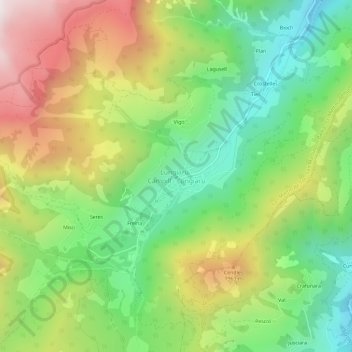
Name: Campill topographic map, elevation, terrain.
Average elevation: 1,660 m
Minimum elevation: 1,210 m
Maximum elevation: 2,301 m
Make a donation
Gear up for your next adventure:
As an Amazon Associate, this site earns from qualifying purchases at no extra cost to you.