
Make a donation
Gear up for your next adventure:
As an Amazon Associate, this site earns from qualifying purchases at no extra cost to you.
Königs Wusterhausen topographic map
Click on the map to display elevation.
Make a donation
Gear up for your next adventure:
As an Amazon Associate, this site earns from qualifying purchases at no extra cost to you.
Königs Wusterhausen
Königs Wusterhausen liegt in den Niederungen zwischen den Höhenzügen des Teltow und der Beeskower Platte, dem Dahmeland. Dabei durchzieht die kulturlandschaftliche Grenze des Teltow die Stadt von Süden nach Norden. Entsprechend war die Gegend um die Stadt sehr durch Moore bzw. Moorwiesen geprägt.
Make a donation
Gear up for your next adventure:
As an Amazon Associate, this site earns from qualifying purchases at no extra cost to you.
About this map
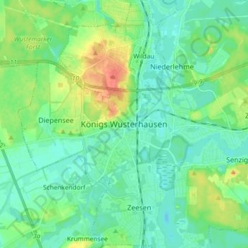
Name: Königs Wusterhausen topographic map, elevation, terrain.
Average elevation: 44 m
Minimum elevation: 32 m
Maximum elevation: 73 m
Make a donation
Gear up for your next adventure:
As an Amazon Associate, this site earns from qualifying purchases at no extra cost to you.