
Thank you for supporting this site ❤️
Make a donation
Make a donation
Gear up for your next adventure:
As an Amazon Associate, this site earns from qualifying purchases at no extra cost to you.
Gothichaur topographic map
Click on the map to display elevation.
Thank you for supporting this site ❤️
Make a donation
Make a donation
Gear up for your next adventure:
As an Amazon Associate, this site earns from qualifying purchases at no extra cost to you.
About this map
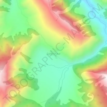
Name: Gothichaur topographic map, elevation, terrain.
Location: Gothichaur, Guthichaur, Jumla, Karnali Pradesh, Nepal (29.19663 82.28926 29.23663 82.32926)
Average elevation: 2,997 m
Minimum elevation: 2,626 m
Maximum elevation: 3,507 m
Thank you for supporting this site ❤️
Make a donation
Make a donation
Gear up for your next adventure:
As an Amazon Associate, this site earns from qualifying purchases at no extra cost to you.