
Shari topographic map
Interactive map
Click on the map to display elevation.
About this map
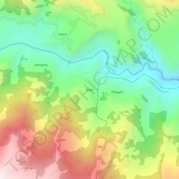
Name: Shari topographic map, elevation, terrain.
Location: Shari, Budhal, Rajouri district, Jammu-et-Cachemire, Inde (33.32727 74.62567 33.36727 74.66567)
Average elevation: 1,627 m
Minimum elevation: 1,210 m
Maximum elevation: 2,222 m