
Lat Ya topographic map
Interactive map
Click on the map to display elevation.
About this map
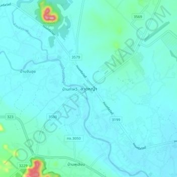
Name: Lat Ya topographic map, elevation, terrain.
Location: Lat Ya, Nong Bua, Kanchanaburi Province, Thailand (14.06013 99.37614 14.14013 99.45614)
Average elevation: 53 m
Minimum elevation: 30 m
Maximum elevation: 256 m