
Kololam topographic map
Interactive map
Click on the map to display elevation.
About this map
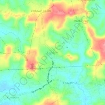
Name: Kololam topographic map, elevation, terrain.
Location: Kololam, Thalassery, Kannur district, Kerala, 670652, India (11.92035 75.48456 11.96035 75.52456)
Average elevation: 58 m
Minimum elevation: 15 m
Maximum elevation: 126 m
Other topographic maps
Click on a map to view its topography, its elevation and its terrain.
Mattannur
India > Kerala > Thalassery
Mattannur, Thalassery, Kannur District, Kerala, 670702, India
Average elevation: 59 m
Pookode
India > Kerala > Thalassery
Pookode, Thalassery, Kannur district, Kerala, 670691, India
Average elevation: 28 m