
Thank you for supporting this site ❤️
Make a donation
Make a donation
Gear up for your next adventure:
As an Amazon Associate, this site earns from qualifying purchases at no extra cost to you.
Marcavalle topographic map
Click on the map to display elevation.
Thank you for supporting this site ❤️
Make a donation
Make a donation
Gear up for your next adventure:
As an Amazon Associate, this site earns from qualifying purchases at no extra cost to you.
About this map
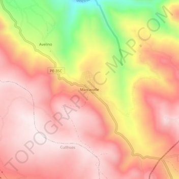
Name: Marcavalle topographic map, elevation, terrain.
Location: Marcavalle, Pucará, Huancayo, Junín, Perú (-12.24541 -75.12618 -12.20541 -75.08618)
Average elevation: 3,922 m
Minimum elevation: 3,509 m
Maximum elevation: 4,132 m
Thank you for supporting this site ❤️
Make a donation
Make a donation
Gear up for your next adventure:
As an Amazon Associate, this site earns from qualifying purchases at no extra cost to you.