
North Ridgeville topographic map
Interactive map
Click on the map to display elevation.
About this map
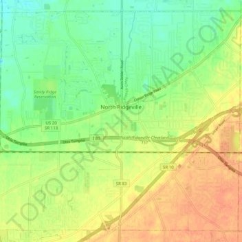
Name: North Ridgeville topographic map, elevation, terrain.
Location: North Ridgeville, Lorain County, Ohio, 44039, United States (41.35127 -82.06897 41.41891 -81.96998)
Average elevation: 225 m
Minimum elevation: 206 m
Maximum elevation: 243 m