Geolocate

Boukadir topographic map

Click on the map to display elevation.

About this map
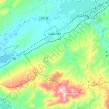
Name: Boukadir topographic map, elevation, terrain.

Location: Boukadir, Boukadir District, Chlef, 02000, Algeria (35.94471 0.95006 36.10059 1.22426)

Average elevation: 263 m

Minimum elevation: 55 m

Maximum elevation: 955 m

Gear up for your next adventure:

🧦Outdoor Socks - Durable socks designed for hiking and outdoor sports
🥾Trekking Poles - Adjustable trekking poles to reduce knee stress and improve stability
🧤Thermal Hiking Gloves - Grip-enhanced gloves for cold-weather altitude trekking
🥾Trail Hiking Socks - Comfortable socks to prevent blisters and fatigue
🧭GPS Outdoor Watch - Smart watch for navigation and fitness tracking in nature

As an Amazon Associate, this site earns from qualifying purchases at no extra cost to you.