Geolocate

Huinchos topographic map

Click on the map to display elevation.

About this map

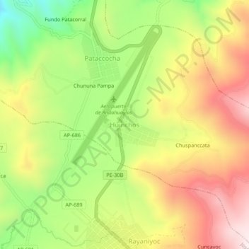
Name: Huinchos topographic map, elevation, terrain.

Location: Huinchos, Andahuaylas, Apurímac, Perú (-13.73327 -73.36978 -13.69327 -73.32978)

Average elevation: 3,619 m

Minimum elevation: 3,283 m

Maximum elevation: 3,946 m

Other topographic maps

Click on a map to view its topography, its elevation and its terrain.

Andahuaylas

Perú > Apurímac > Andahuaylas

Average elevation: 3,818 m

Gear up for your next adventure:

🧊Insulated Water Bottle - Keeps drinks cold in summer and prevents freezing in winter
🥾Lightweight Hiking Shoes - Comfortable shoes for day hikes
🧥Waterproof Jacket - Lightweight rain jackets for hiking and outdoor activities
👟Trail Running Shoes - Agile footwear for fast-paced topographic exploration
🥾Trail Running Boots - Durable shoes designed for trail running

As an Amazon Associate, this site earns from qualifying purchases at no extra cost to you.