Geolocate

Encinarejo topographic map

Click on the map to display elevation.

About this map

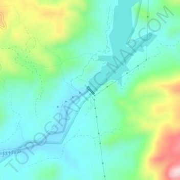
Name: Encinarejo topographic map, elevation, terrain.

Location: Encinarejo, Andújar, Jaén, Andalucía, España (38.16407 -3.99337 38.16504 -3.99220)

Average elevation: 333 m

Minimum elevation: 247 m

Maximum elevation: 572 m

Other topographic maps

Click on a map to view its topography, its elevation and its terrain.

Llanos del Sotillo

España > Andalucía > Andújar

Average elevation: 218 m

Virgen de la Cabeza

España > Andalucía > Andújar

Average elevation: 522 m

Gear up for your next adventure:

🥾Hiking Shorts - Breathable shorts suitable for summer hikes
🥘Camping Cookware Set - Compact nesting pots and pans for trail cooking
🥾Mountain Trail Shoes - High-traction shoes for mountain trails
🕶️Polarized Sunglasses - Reduces glare from snow and water at high elevations
🔥Camping Stove - Portable stoves to cook outdoors with ease

As an Amazon Associate, this site earns from qualifying purchases at no extra cost to you.