
Boonville topographic map
Interactive map
Click on the map to display elevation.
About this map
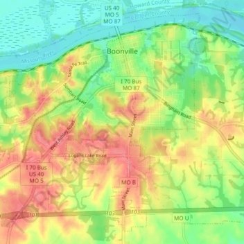
Name: Boonville topographic map, elevation, terrain.
Location: Boonville, Cooper County, Missouri, United States (38.93191 -92.79316 38.98419 -92.71783)
Average elevation: 209 m
Minimum elevation: 174 m
Maximum elevation: 248 m