
Thomaston topographic map
Interactive map
Click on the map to display elevation.
About this map
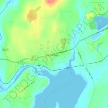
Name: Thomaston topographic map, elevation, terrain.
Location: Thomaston, Knox County, Maine, 04861, United States (44.06659 -69.20935 44.09200 -69.15429)
Average elevation: 23 m
Minimum elevation: -41 m
Maximum elevation: 81 m