
Thank you for supporting this site ❤️
Make a donation
Make a donation
Gear up for your next adventure:
As an Amazon Associate, this site earns from qualifying purchases at no extra cost to you.
兰峰 topographic map
Click on the map to display elevation.
Thank you for supporting this site ❤️
Make a donation
Make a donation
Gear up for your next adventure:
As an Amazon Associate, this site earns from qualifying purchases at no extra cost to you.
About this map
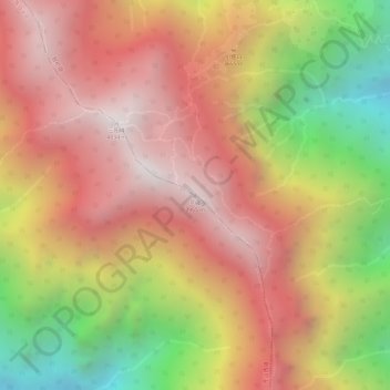
Name: 兰峰 topographic map, elevation, terrain.
Location: 兰峰, Dali City, Dali Bai Autonomous Prefecture, Yunnan, China (25.71961 100.07604 25.71971 100.07614)
Average elevation: 3,539 m
Minimum elevation: 2,825 m
Maximum elevation: 3,996 m
Thank you for supporting this site ❤️
Make a donation
Make a donation
Gear up for your next adventure:
As an Amazon Associate, this site earns from qualifying purchases at no extra cost to you.
Other topographic maps
Click on a map to view its topography, its elevation and its terrain.