
Village Canadien topographic map
Interactive map
Click on the map to display elevation.
About this map
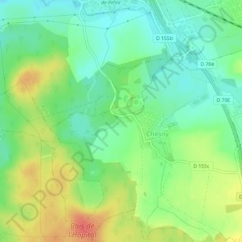
Name: Village Canadien topographic map, elevation, terrain.
Average elevation: 206 m
Minimum elevation: 185 m
Maximum elevation: 237 m
Other topographic maps
Click on a map to view its topography, its elevation and its terrain.
Pré Sauvage
Pré Sauvage, Chesny, Metz, Moselle, Grand Est, France métropolitaine, 57245, France
Average elevation: 218 m