
Bornan topographic map
Interactive map
Click on the map to display elevation.
About this map
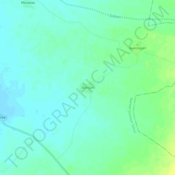
Name: Bornan topographic map, elevation, terrain.
Location: Bornan, Marwar Junction Tehsil, Pali, Rajasthan, 336103, Inde (25.80885 73.79205 25.84885 73.83205)
Average elevation: 308 m
Minimum elevation: 302 m
Maximum elevation: 319 m