Geolocate

Arsim topographic map

Click on the map to display elevation.

About this map

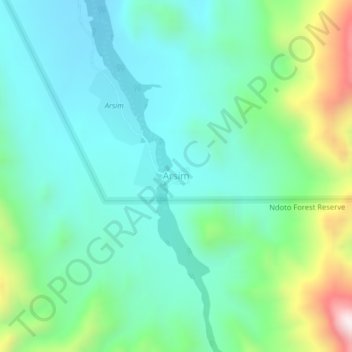
Name: Arsim topographic map, elevation, terrain.

Location: Arsim, Ndoto ward, Samburu North, Samburu, Rift Valley, Kenya (1.75820 37.18532 1.79820 37.22532)

Average elevation: 1,083 m

Minimum elevation: 886 m

Maximum elevation: 1,684 m

Gear up for your next adventure:

🧥Waterproof Pants - Keep dry during rainy hiking conditions
🧰Emergency Multi-Tool - Compact multi-tool for outdoor survival
🧥Fleece Jacket - Warm and lightweight jacket for layering
🧣Merino Neck Gaiter - Protects against wind, sun, and cold at high altitudes
🥾Hiking Shorts - Breathable shorts suitable for summer hikes

As an Amazon Associate, this site earns from qualifying purchases at no extra cost to you.