
Munte topographic map
Interactive map
Click on the map to display elevation.
About this map
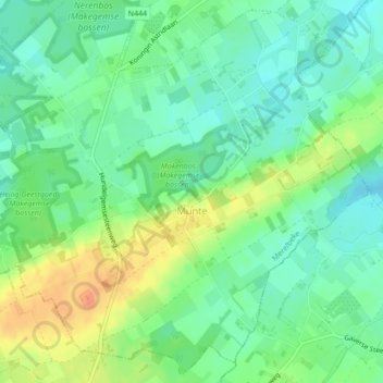
Name: Munte topographic map, elevation, terrain.
Location: Munte, Merelbeke, Gand, Flandre orientale, Flandre, Belgique (50.93375 3.72311 50.95940 3.76450)
Average elevation: 33 m
Minimum elevation: 16 m
Maximum elevation: 59 m