
Thank you for supporting this site ❤️
Make a donation
Make a donation
Gear up for your next adventure:
As an Amazon Associate, this site earns from qualifying purchases at no extra cost to you.
Ranaghat topographic map
Click on the map to display elevation.
Thank you for supporting this site ❤️
Make a donation
Make a donation
Gear up for your next adventure:
As an Amazon Associate, this site earns from qualifying purchases at no extra cost to you.
About this map
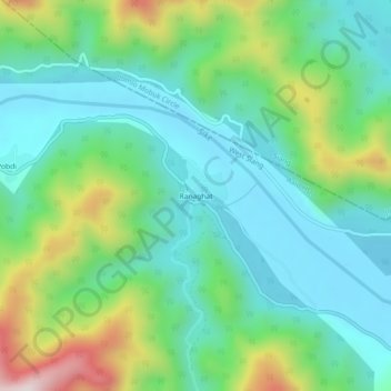
Name: Ranaghat topographic map, elevation, terrain.
Location: Ranaghat, Aalo HQ, West Siang, Arunachal Pradesh, India (28.16817 94.74670 28.20817 94.78670)
Average elevation: 396 m
Minimum elevation: 227 m
Maximum elevation: 837 m
Thank you for supporting this site ❤️
Make a donation
Make a donation
Gear up for your next adventure:
As an Amazon Associate, this site earns from qualifying purchases at no extra cost to you.