Geolocate

Cerro Angimaloa topographic map

Click on the map to display elevation.

About this map

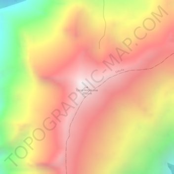
Name: Cerro Angimaloa topographic map, elevation, terrain.

Location: Cerro Angimaloa, Dibulla, La Guajira, RAP Caribe, Colombia (10.96613 -73.36007 10.96623 -73.35997)

Average elevation: 3,570 m

Minimum elevation: 2,792 m

Maximum elevation: 4,035 m

Gear up for your next adventure:

🥾Mountain Hiking Shoes - Shoes with superior grip for mountainous terrain
🏕️Camping Hammock - Integrated protection for sleeping between trees
💡LED Headlamp - Hands-free illumination for night hiking and camping
🧊Insulated Water Bottle - Keeps drinks cold in summer and prevents freezing in winter
🦶Anti-Blister Balm - Prevents friction and hotspots during long ascents

As an Amazon Associate, this site earns from qualifying purchases at no extra cost to you.