Geolocate

Metpalli topographic map

Click on the map to display elevation.

About this map

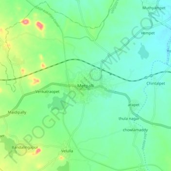
Name: Metpalli topographic map, elevation, terrain.

Location: Metpalli, Metpalli mandal, Jagtial, Telangana, 505325, India (18.80882 78.58589 18.88882 78.66589)

Average elevation: 308 m

Minimum elevation: 278 m

Maximum elevation: 388 m

Gear up for your next adventure:

🔋Emergency Crank Radio - Weather alerts and power without needing batteries
🧰Emergency Multi-Tool - Compact multi-tool for outdoor survival
🛌Down Sleeping Bag - Superior warmth-to-weight ratio for cold nights
🧳Compression Sacks - Maximize space in your backpack by shrinking gear
🧼Biodegradable Camp Soap - Environmentally friendly cleaning for gear and body

As an Amazon Associate, this site earns from qualifying purchases at no extra cost to you.