
Cibodas topographic map
Interactive map
Click on the map to display elevation.
About this map
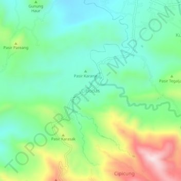
Name: Cibodas topographic map, elevation, terrain.
Location: Cibodas, Majalengka, Java occidental, 45411, Indonésie (-6.89463 108.21998 -6.85463 108.25998)
Average elevation: 322 m
Minimum elevation: 165 m
Maximum elevation: 662 m