Geolocate

Tureia topographic map

Click on the map to display elevation.

About this map

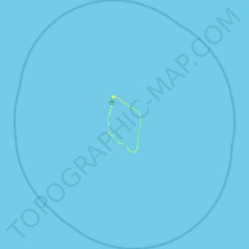
Name: Tureia topographic map, elevation, terrain.

Location: Tureia, Tuamotu-Gambier, French Polynesia, 98784, France (-21.08808 -138.78541 -20.56887 -138.29389)

Average elevation: 0 m

Minimum elevation: 0 m

Maximum elevation: 12 m

Other topographic maps

Click on a map to view its topography, its elevation and its terrain.

Fangataufa

France > French Polynesia > Tureia

Average elevation: 0 m

Gear up for your next adventure:

🌬️Windproof Camp Stove - Efficient cooking even on exposed mountain peaks
🧭GPS Outdoor Watch - Smart watch for navigation and fitness tracking in nature
🚲MTB Frame Bag - Carry tools and maps directly on your bicycle frame
🛏️Camping Sleeping Mat - Comfortable mats for sleeping outdoors
🛶Canoe Life Vest - Safety vest for water sports

As an Amazon Associate, this site earns from qualifying purchases at no extra cost to you.