
Muntaner topographic map
Interactive map
Click on the map to display elevation.
About this map
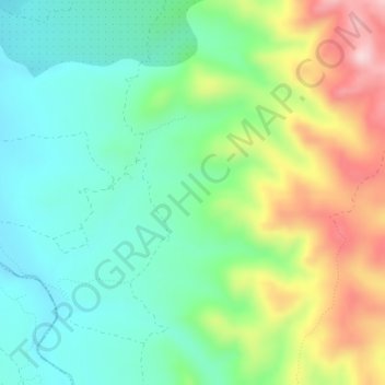
Name: Muntaner topographic map, elevation, terrain.
Location: Muntaner, Tivissa, Ribera de Ebro, Tarragona, Cataluña, España (40.96569 0.66026 40.98569 0.68026)
Average elevation: 216 m
Minimum elevation: 117 m
Maximum elevation: 409 m
Other topographic maps
Click on a map to view its topography, its elevation and its terrain.
la Miranda
la Miranda, Tivissa, Ribera de Ebro, Tarragona, Cataluña, 43774, España
Average elevation: 677 m