
آبیز topographic map
Interactive map
Click on the map to display elevation.
About this map
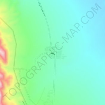
Name: آبیز topographic map, elevation, terrain.
Location: آبیز, بخش شاسکوه, شهرستان زیرکوه, Khorassan du Sud, Iran (33.67303 59.94115 33.71303 59.98115)
Average elevation: 1,160 m
Minimum elevation: 1,052 m
Maximum elevation: 1,502 m